2022-10-29

White Cloud Peaks Loop

White Cloud Peaks Loop, Idaho

Total Mileage: 35 miles (approximate, including side-trips)

Total elevation gain: 7,500 feet (approximate)


Scenery: 10
Solitude: 8
Difficulty: 7

Our itinerary: 2 nights 3 days

Day1: Fourth of July Creek trailhead --Hammock Lake
Day2: Hammock Lake -- Upper Chamberlain Lake
Day3: Hike out

Another great place in Idaho. The white cloud range is probably the 2nd most popular backpacking places in Idaho (1st is in the Sawtooth). Although it is popular in Idaho, it is much much less hikers compared to California or New England. 

Ants Basin

First, we started at Fourth of July Lake trailhead, and then hiked up to the pass. From the pass, Ants Basin was seen. From the top, white-colored mountains were visible. I got it why the area is called White Clouds Peaks. It was a perfect sunny day without clouds. Only White Clouds in the scene and that was appealing its white color by reflecting shiny sunlight. The entire Ants Basin was warmly green in the sun. No humans at all except for us. It was very peaceful. Next moving stuff we saw was pika. Always pika is cute. 

Born Lakes

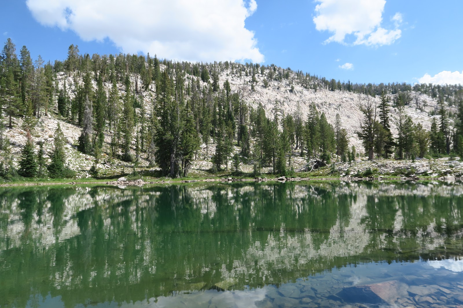
At 4.5 miles, we arrived Born Lakes. This lake is really beautiful and it is popular destination for an easy overnight backpacking. The lake looked sky blue at the first sight. Later, from other angle, it is mesmerizing emerald green. Born Lakes are really beautiful and enjoyable from all directions. 


Four Lakes Basin
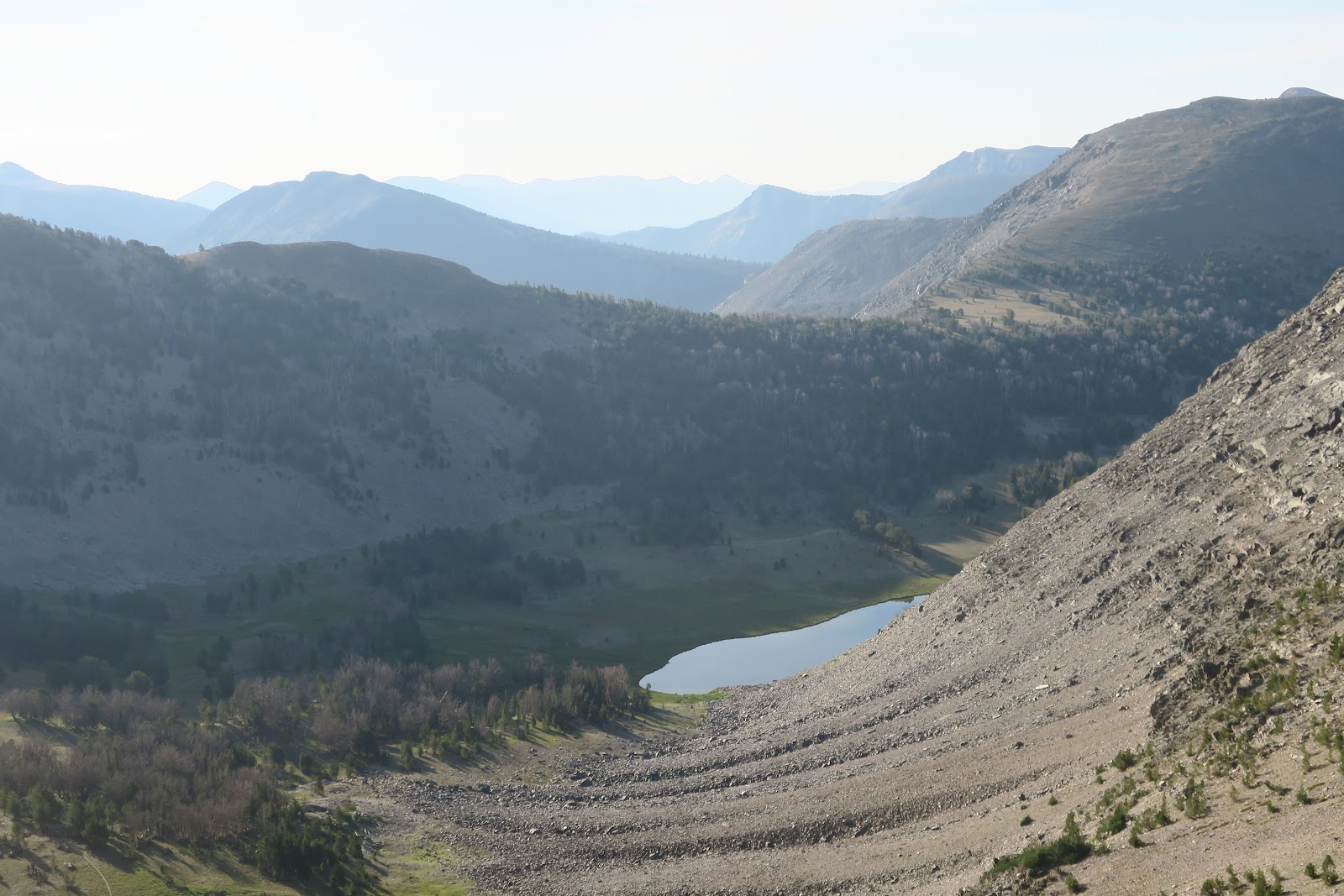
To make a loop for this backpacking, off-trail starts from Born lake. First you climb scree up to 10,220 foot pass. This is an amazing view. You see Ants Basin and White Clouds Peak in the distance, then you see beautiful Four Lakes Basin below. There are quite pretty four lakes below and we descended into that. Whoa, this was quite steep! We checked out all four lakes. They are really hidden. I felt so lucky having an opportunity to look them. SO PRETTY!! For some reason, nice trail was there from the fourth lake to the next quite lake even though that was officially no trail area. It used to be a trail? Or it was a mountain goat path? However, once we reached the Quiet lake, complete off-trail adventure came back. 

Quiet Lake

Quiet lake (literally this name) is peaceful as you can imagine. Quiet lake was really deep dark blue, which was exceptional. Then we hike up meadow and scree more to the Scree Lake, then Shallow Lake, then came back to the official trail. Here we saw mountain goat in the distance. They were eating grass in the meadow near the lake. Their fur is fluffy! I could feel fluffy even though they were far. I had seen mountain goat but they were always on the cliff. In White Clouds, they were in the meadow. Mr.N said that they were lazy. I said, "It's OK, because they are cute"

campsite

We camped at Hourglass lake for the first night. The lake was completely ours. The campsite was awesome with lake and mountain view. 

Next day we went through a couple more lakes of Boulder chain lakes, then wen t down about 2000 feet. Then we again started ascending. A little before we reached the Castle Divide, we decided to do some off-trail portion to go to Castle Lake. The guide book "Backpacking Idaho" indicated that Castle Lake is beautiful, and the author had some tips where to leave the official trail to go there. Those descriptions were helpful usually, but this time it confused us more. First, the book indicated that leaving the trail after a junction with the trail along the Wickiup Creek, but that trail is obviously abandoned and there was not a single hint of used-to-be a trail. Second, the book said that there would be very tall carin when sketchy path starts, but clearly not. We eventually found the sketchy path to the lake: I believe that is a mountain goat path, because it is so narrow on the edge of steep talus. Also , the book said mountain goat is frequently spotted at Castle Lake. The path was really scary, but the worst part was short. The Castle lake is really beautiful and it was worth wondering off-trail for a while. Nobody was at the lake of course, and Mr.N jumped into the lake. Then we came back to an official trail and hiked up to the pass, then we went to the side trail to go to upper Chamberlain lake. We camped there. There was a big horse campsite with a fire ring. Previously at Sawtooth, fire needs to be on the special fire mat, but we didn't bring it. Here in White Clouds, it is allowed to have a fire in the existing fire ring. I was so happy to have fire finally! While Mr.N was in the lake, I started fire :) 

Mountain Goat

Next morning when we hiked out from upper Chamberlain lake, Mr.N saw something and said, "Oh something there. Is that a dog?"  Since dogs are allowed in National Forest there, he thought so. The white small thing moving was actually mountain goat kid! After the small one, three adult mountain goat came to the meadow. It was precious to have a time to observe them. 

Until hiking to Washington Lake, there was no humans, but we saw at least 10+ day hikers at Washington Lake which is a couple of miles from the trailhead. 

White Cloud has outstanding scenery, wonderful wildlife. I really had a great time.


2022-10-15

Central Lemhi Range Loop, Idaho

 Central Lemhi Range Loop, Idaho

Total Mileage: 50 miles (approximate, including side-trips)

Total elevation gain: 11,500 feet (approximate)


Scenery: 6
Solitude: 8
Difficulty: 7

Our itinerary: 4 nights 5 days

Day1: South Fork Big Creek trailhead --Big Eightmile Creek area
Day2: Big Eighmile Creek area --Squirrel Creek
Day3: Squirrel Creek -- Iron Creek
Day4: Iron Creek Point (side trip) -- South Fork Big Creek
Day5: Hike out

Central Lemhi Range Loop! This loop highlights solitude and a lot of wildlife. How many people know Lemhi range? Not many. This makes this area really remote. Lemhi range is hidden behind already remote Lost River range. Also, the road to the trailhead is rough, although a sedan can make it. Indeed during our 5-day backpacking, we only saw 3 backpackers (2 in a group, and a solo backpacker). We talked with a solo backpacker who is from Boise, Idaho. When he found out that we came from Mass, he was surprised. He said that we reminded him of geese: sometimes he saw a goose why landed on a weird place despite all other places. He looked us like that way. He might have been surprised if I had said I am from Japan. I might be the first Japanese person who hiked in the Lemhi range actually! It is remote in terms of hikers, but half of this loop the trail is open to motorcycles. This was disappointing, but not too bad. We only saw 3 motorcycles over 5 days. 
Young bull

First we started hiking up along North Fork Big Creek. It was a hot day over 90F. When we arrived at the trailhead a day before, the thermometer in the car hit 100F (OMG). Our rental car was black, so inside was even hotter! Lemhi range seems geologically very hot. Later I looked again the Idaho backpacking book and this loop is stated best in June. Anyhow I don't regret. As I mentioned above about abundant wildlife, only 1 hour later we started hiking, we saw a moose bull. His antlers were still covered with velvet. Compared to the bull we saw in September in Alaska, he was smaller, but *still* big animal. He seemed surprised by presence of hikers and went deep in the forest. Then 10 minutes later we saw another young bull! The area must have very good food for moose. 
Devil's Basin

 After 10 mile of hiking, we arrived at Devil's Basin where we planned to camp. The meadow was really pretty. Green grass and surrounding high granite mountains are nice, however, there was a big problem: mosquitoes. SOOOO many mosquitoes, probably because there is a river in the middle of the meadow. I am extremely popular among mosquitoes. Thus I had to move on to the next camping area. (FYI: in Florida, I got 198 mosquito bites while Mr.N got 2 bites. This is the real numbers. I literally counted the bites.)

Looking down Devil's Basin

We left the basin and ascended the trail. In the left picture, you can see Devil's basin's green meadow below. There is no sign at the pass but we knew that is the junction by Idaho backpacking book. We took a little side trip to enjoy the ridge line to see remote Lehmi range. Despite such a great remoteness, the trail seemed rerouted and sometimes old trails were seen from new trail. We wondered why such remote area needs new trail.

1st night campsite
Then we descended to another beautiful basin and camped. In the evening one motorcycle passed the trail. Other than that, it was really quiet and solitude night.

For this trip we had one pack freeze-dried food (2 servings/pack) and Idahoan (dried mashed potatoes) or instant rice for 2 people dinner. Most people eat freeze-dried food 2 servings for 1 person. Usually 1 serving is not enough after all-day backpacking for one person. So we added Idahoan or rice to it. We were in Idaho, so Idahoan is the right thing to eat isn't it?
Yellow Lake from the 10,200 pass

Next morning, we climbed up to the 10,200-foot Yellow pass. From the pass, pretty Yellow lake was seen. Also the undulating mountains in Lehmi. It is very peaceful. Nobody else. At the top, I ate Japanese Melon Pan. I bought it at Japanese store in Salt Lake city. Then we descended to Yellow Lake and enjoyed it by the lake. After the Yellow lake, there were two choices. We could either stay on the official trail, or go down to the Middle Fork Lake by off-trail (mostly via mountain goat sketchy path). We looked down the lake from top. The lake was pretty, but after the lake we would need to stay in the forest. So we decided to stay on the official trail which is all the way above tree line on the ridge.
Meadow in the evening


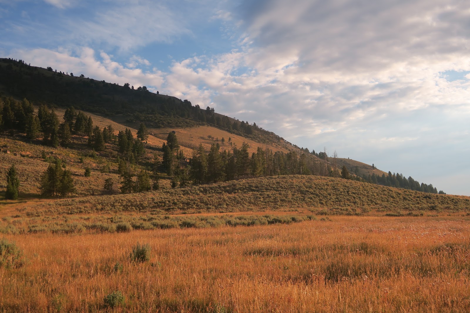
For the 2nd night campsite, we chose the meadow near Squirrel Creek. Evening light hit the meadow, and it became orange. That was really beautiful. A bonus about this campsite is a chair! In this area horse camping are allowed. We found an established big campsite that was obviously used by a big party came with mules and horses. The reason we thought so was that a camping chair was left, and a styrofoam target was left. It was lucky to be able to sit on a chair while backpacking super remote.  
Elk

Next day we did a side trip to Iron Creek Point, which is 10,736 foot high. This was incredible, because we saw elk. Those elk is definitely one of the highlights of the entire Idaho trip. Usually we saw wildlife early in the morning or evening. We saw the elk around 8 a.m. on the talus. The trail is rarely used and nobody else on that day, too. Elk walking sounds on the talus made us notice the existence of them. Wow! A bull and several females and their kids. Females called with high-pitch voice to warn that there are humans.
Elk


It was funny that males ran away first when they noticed us, then females and kids were monitoring us as you see in the left picture. Adult mothers put small ones in the middle to protect them. 3 adults and 3 kids. Those small ones have white dots. 


Iron Creek Point
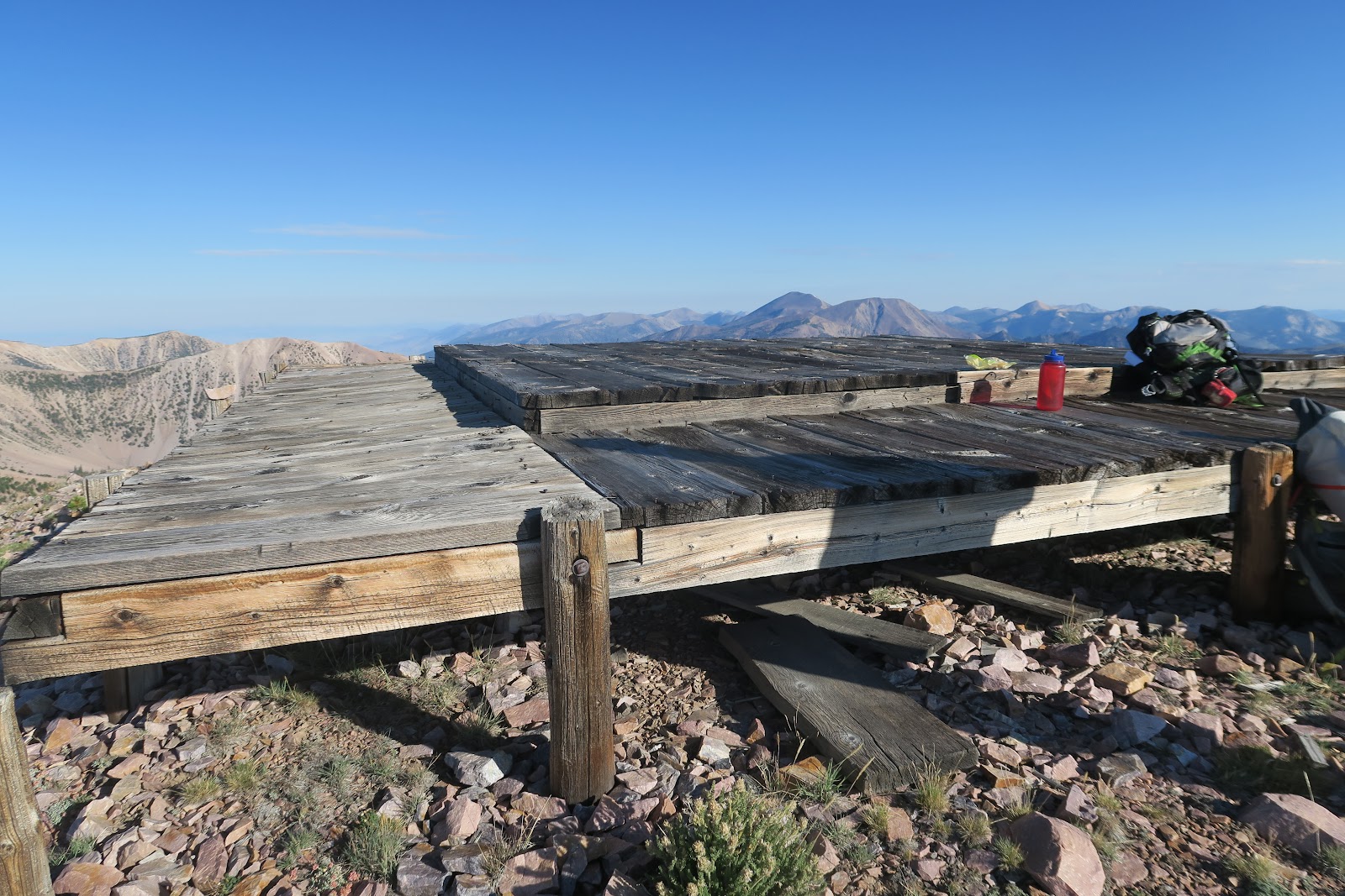
The view from Iron Creek Point was wonderful. This is the southwest side of Lehmi range. At the summit, there was collapsed lookout. We saw very old coffee metal can and fish can under. The package looked like 1950 or earlier even. The person in charge of lookout lived and watched wildfire I guess. 

Old lookout
Lehmi range is quite a unique place. It is isolated and solitude is promised. Many wildlife sighting is expected as well. This was another memorable backpacking.


2022-09-30

Grand Sawtooth Loop, Idaho

 Grand Sawtooth Loop, Idaho

Total Mileage: 80 miles (including side-trips)

Total elevation gain: 15,000 feet (approximate)


Scenery: 10
Solitude: 7
Difficulty: 5

Our itinerary: 6 nights 7 days (due to small wildfire, trail closure/open occurred during the trip: that made us hike an unusual loop of grand sawtooth loop)

Day1: Grandjean traihead -- North Baron Creek 
Day2: North Baron Creek --Alpine Lake
Day3: Alpine Lake --Lake 8861 (side trip)
Day4: Lake 8861--10 Lakes Basin (side trip, off-trail) --Three island Lake (side trip)
Day5: Three Island Lake--a mile before Grandjean trailhead
Day6: a mile before Grandjean trailhead --Grandjean trailhead --Sawtooth Lake

Day7: Hike out

2022 summer, we chose Idaho for our adventure destination. Not many people go to Idaho for backpacking by flying, but we knew it would be beautiful. We have a "Backpacking Idaho" book, and we searched and dreamed for a while to go to Idaho for backpacking. One of our main backpackings we wanted to do was Grand Sawtooth Loop. This is 70 mile loop in the Sawtooth mountain range and go through a lot of lakes. I got interested in this hike, because 1) I like loop hikes, 2) I like backpacking relatively long (more than overnight but less than 2 weeks), 3) I love lakes, 4) I love hiking above a tree line, 5) I like hiking with solitude.

When we arrived at Grandjean trailhead, we saw a sign put by Sawtooth National Forest service. It indicated that a part of a loop was closed due to wildfire in the area. Luckily most of the loop was still open, and the sky was not smokey at all. So we started hiking. Since we hit the trail at 4 p.m., we only hiked 3 miles on the first day. Besides, we heard thunders in the distance, so it was better not to climb too much and we camped in the trees. Although it was just 3 miles, we saw a black bear!!! The bear was on the trail. As we approached, the bear stood up and checked what was coming. Then as soon as the bear saw humans he ran away. Idaho bears are very scared of humans, probably due to hunting and they knew they were not protected like ones in the National Parks. 

Next day we started hiking at 5 a.m. (and every day at 5 a.m.) The first lake of the loop was Baron Lake. Oh my goodness. The Baron lake is super beautiful. The mountain over the lake is very spiky, "the Sawtooth", which I hadn't never really seen the shape before. Very cool.  The mountain shapes were mirroring on the lake. It was so pretty and to spend some time at the lake we had an early long lunch break there. Gorgeous!
Baron Lake
It was hard to leave the Baron lake, but we headed for the upper Baron Lake next. Upper Baron Lake is a little above the first Baron Lake. Upper one is slightly smaller than lower one, but this was equally attractive blue color. Then the trail goes up to Baron Divide. On the way up to the pass, two lower and upper Baron Lakes can be seen below. The two lake surrounding by massive mountains was such a wowing view. There are many ways to admire the beauty of lakes. Being at the same level as lake at the shore is great, and looking below lake's blueness is another way to enjoy them. When multiple lakes can be seen below, it is extra gorgeous.
Baron Lakes

Alpine Lake
Upper Crammer Lake
At Baron Divide, we had snack. I ate anpan (Japanese bread, red bean paste inside) as my mountain top snack as usual. Food is always more delicious in the mountain. Then we descended to the other valley. We wanted to camp by lake above a tree line, so we stopped a little early in the afternoon at Alpine lake. Alpine lake is another beautiful lake and glad we had a great campsite. Mr.N as usual swam in the lake, and even I did, because it was a hot afternoon probably over 85F. In Idaho summer in the dry climate at high altitude, it gets hot after sun comes out but it is chilly in the morning. Two not-so-good things about this campsite was related to the fact that day hikers have access here. Due to that, chipmunks got close to human and expected to be fed. I am sure that they got food from human before. They came again and again so I had to scare them. Also when I scare them I noticed they always ran and hid in the dead tree. So I had to block the entry to the tree. Then those brat chipmunks had to run uphill to run away. They were very fat: they need to run more. Another OK thing was that campers were not only us, actually at least 4 parties were camping along Alpine Lake. Far enough not to see humans, but one party was chatting loud until 9 p.m. We went to sleeping bag at 8 p.m., so they bothered me for an hour. Other than that it was really nice. Those people were I guess just overnighters. Next day we went down to the tree area then again climbed up above tree line. The first lake of the day was Crammer Lakes (lower, then upper). Especially upper Crammer lake was pretty. The water was extremely clear. We filtered water here for the upcoming climbing to the pass. 

unnamed heart shape lake

This pass, Crammer Pass.....I really really loved it. On the way to the pass there are many unnamed lakes. In Sawtooth, many lakes are gem even without names! First lovely one on the way to the Crammer pass was a shape of heart. What a color and what an amazing mountains around. Magnificent. 

pika

Climbing more and more from there, more talus field appeared. Cute residents in the talus at high altitude? Pika! One pika appeared from big rock at the top of hill and said, "Peeee!" for four times. He shouted towards below talus field. I was very impressed how big their voices considering their body sizes. I love seeing pika.
The most impressive thing at the pass was that the shape of mountain as below! This is really cool needles and I couldn't stop staring at them. We sat at the top of the pass with view of these and had a long lunch. What a gorgeous place to have a meal. I again had anpan and Japanese bars (I only eat Japanese bars. I can't bear with American chewy bars. They stick to teeth too much).
Crammer Pass


unnamed lake
After the pass we descended into another valley and saw more unnamed lakes and named lakes. The first unnamed lake after the pass is in the left picture. Very deep greenish blue. Each lake has its own unique color and each is mesmerizing.


Hidden Lake

Then We descended to Hidden Lake. Beautiful. I was wondering why it is named hidden. Very big lake and obvious. One thing I can think of is access. From any trailheads, it takes at least 2 days to reach here, meaning 4 day trip at least to come to Hidden lake and go back. Maybe that's why it is called Hidden lake. Mr.N jumped into the lake and I took pictures and had snack here. A guy was fishing here. Some lakes have trouts in Sawtooth.


Edna Lake

Next lake was Edna lake. You can tell by now we went to so-many-lakes. It was a dream backpacking route visiting lake after lake and all are amazing. Edna lake was a good option to camp of the day, but it was crowded. We saw at least 4 tents already set up when we arrived around 3 p.m. there. 


lake8861

We love solitude, so we went to a side trail and a little bit of off-trail to camp at lake 8861. Some lakes don't have official names and they are called at their altitude. This lake is at 8861 feet. We chose that lake, because backpacking in Idaho book by Wilderness Press indicates that lake 8861 is deserted and very beautiful and worth doing a side trip there. Despite of the off-trail portion to reach to lake 8861, there was a couple already set up camp at the lake. We went to the other side of them and set up a tent. Later one other guy came on the other side to camp. I was a bit disappointed to see three parties, because my expectation was "deserted" as written in the book. Anyhow, the lake was pretty, especially mountains mirroring on the lake in the evening and morning. Another interesting thing at this campsite was that we found that deer was sleeping very close to our tent. When we got up at 5 a.m. and got out of tent, deer ran out near the tent. There was a spot grass was very flat: obviously the deer was sleeping there (and actually we heard noise to make bed when we went to bed, it was deer).

Ardeth Lake

Next morning we came back to Edna lake from side trip, then continued the loop. Next lake after Edna lake was Vernon Lake. We heard a horse crying (sounded like complaining) there. Then the next was Ardeth Lake, which is Mr.N's favorite lake during Grand Sawtooth Loop. 


10 Lake Basin

Here we were ahead of schedule, so we decided to do off-trail adventure around Ardeth Lake. As you can see in the picture of Ardeth Lake above, there is a basin above Ardeth Lake. Map shows "10 Lakes Basin"with many lakes (about 10). The left picture is the first lake we reached on the 10 Lake Basin. If you compare Ardeth Lake picture and left picture, you can tell we went up the hill. Mr.N swam here. There was absolutely nobody in the 10 lake basin, therefore Mr.N jumped into the lake naked. After we enjoyed the first lake, we decided to explore more lakes. These below pictures are more lakes on the 10 Lakes Basin. This basin was soooooooo pretty. 
10 Lake Basin


10 Lakes Basin
10 Lakes Basin

 After half a day we explored the 10 Lakes Basin where there is nobody else, we got back to an official trail and continued trekking.  Now going up to the pass. It was really nice to see below Ardeth lake and multiple lakes on the 10 Lake Basin from the pass. 
Looking 10 Lakes Basin Below


Spangle Lake
After the pass a chain of lakes still continues. After Edna Lake, it will take more than 2 days from any trailhead,
so it was quite quiet. We passed Spangle Lake, Lake Ingeborg, Rock Slide Lake. Every single lake is pretty. Then we took another side trip to Three Island Lake. Just 1 mile side trip and it is easy: on trail. 
Three Island Lake


Three Island Lake is named so, because there are three rock islands on the lake. We camped here at the lake. Nobody was there; complete solitude. First night at Alpine lake, and second night at lake 8861 were both not only us at the lakes camping, thus this campsite was extra great due to solitude. What a wonderful experience having beautiful lake in alpine only for us. As usual, Mr.N dove in the lake and I took pictures of the lake. Then we had dinner. 


Fern Falls

The next morning was a little sad, because we had to leave the high alpine lake area and needed to descend the valley to complete the loop. Oh well we had more backpacking to come in the trip, so it was okay. It was a long descend: this day we covered 17 miles. There were two options to camp. One is a car campground at the trailhead, or backcounty camp a mile before the trailhead. We saw a flat space when we started this loop a mile after trailhead. Since car campground is not free (we love free), we decided to camp a mile before trailhead. The plan was finish early in the morning and head for the next backpacking. Although I wrote the 17 mile was boring, it is actually scenic, especially Fern Falls was pretty.
 
First Trail Creek Lake
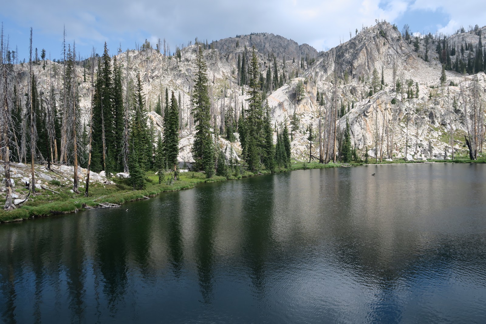
The next early morning we came back to the trailhead: we thought we did all the grand loop open that time. Then I looked around and noticed that partial trail closure sign was gone!!! Oh WOW. Probably the closure was due to a very small fire and I guessed it was totally contained. We then decided to do the missed part. We sorted out the food and started backpacking within an hour. After 5 miles of uphill, we came back to the alpine lake area again. Happy. The first lake we reached on this day was Trail Creek Lakes. An official trail goes to the first Trail Creek Lake of several. The color of lake is deep greenish blue. Really pretty. The lake color changes depending on what time of the day. We arrived there before sun hit the water, so it was deep blue. I loved it. 
 
Upper Trail Creek Lakes
Then we decided to explore the other Trail Creek Lake, which requires off-trail portions. One of the reasons is that first Trail Creek Lake is 5 mile away from the trailhead, so some day hikers were at the lake (for them 10 mile out and back day hike). Dayhikers were crammed at the end of official trail and no hint going off-trail to upper lakes. We wanted some solitude at the lake, so we explored other Trail Creek Lakes. We walked around at least two more upper Trail Creek Lakes. It is very beautiful and I am glad we did that. Also it was nice to see look down the first Trail Creek Lake: another angle is nice too. It was hard to leave Trail Creek Lakes, but we moved on. 
 
On the way to Observation Peak

Next we did a side trip to hike up to Observation Peak. An official trail exists to go to the top of Observation Peak, but obviously not many people go there, since this is a side trip in addition to the standard grand Sawtooth loop. On the way to Observation Peak, we saw in the distance Trail Creek Lakes (lower and upper) as you can see in the left picture. Whoa. Another beautiful scenery. 
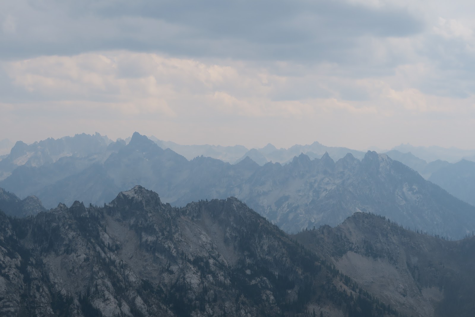
 
Observation Peak
As you can see in the left and above pictures, there was wildfire somewhere. The sky was smokey. If there was no smoke, it would have been even better, but I was still happy to see such mountain range.
From the top, 360 view of the Sawtooth. This is the reason the mountain range is called Sawtooth indeed. Unique and beautiful. Then, we headed for another lake. 
 
McGown Lake
Because Trail Creek Lakes and Observation Peak are both side trips, when we arrived at McGown Lake, it was already 6 p.m. It is a very pretty lake and nobody there, so we thought about camping there, but the campsite had a burnt leaning tree that looked like it could fall on the campsite. After we discussed, we decided to climb 200 feet more to go to Sawtooth Lake. 

I liked the decision. I really loved the Sawtooth lake. Very big lake!
Sawtooth Lake


Sawtooth Lake in the morning
It is one of the most beautiful lakes I have ever seen. If I had to choose the favorite lake of this backpacking, Baron lake and Sawtooth lake. It was really lucky to spend by a favorite lake. The next day, the color was even more amazing. Sooooo blue. Azure blue. 
 
For this Grand Sawtooth loop, we saw 40 lakes at least I remember now. Some are big with name, some are no names. I think this is the most lake filled backpacking course I have ever done. I love lakes so much. Also this loop includes a lot of mountains. Mountains are indeed sawtooth-ish. Priceless.


2022-07-22

Franconia Ridge-#1 rated New Hampshire Hike


Franconia ridge hike is the most popular hike in New Hampshire.

Hikers who know both West and East, you know how many trees in the New England. In addition, altitude is not very high in the East compared to West. Thus, a lot of hikes are below treeline, in the forest. Usually only the small portion of a hike is rocky above tree line with view, and many hikes never get out of forest without open views. Based on that, Franconia ridge hike is categorized unusual in New England in a good way. The biggest reason is one third of the hike of 8 miles is on the ridge with quite open view. I totally understand why this is so popular. As you can see in the picture, ridge walk has a good view. 

Due to this popularity, the parking lot is insane. The lot is large, at least 40 cars can be parked, but it will be full by 8 a.m. On this hike we left the Boston area at 4 a.m., and arrived at the parking by 7 a.m. Already 2/3 is full by then. People used to park along the highway because of the situation. The parking along highway was over 1 mile. So.Many.Cars were parked. Yes, you can imagine it is not safe to park along highway. State of New Hampshire thought so too (phew, good), and one day they put a red cone along the highway. Each cone is tied with rope with next cone so that car can't park. The rope-tied corns continues more than 1 mile to north and south. 

In addition to the ridge portion, Franconia falls on the way is pretty. This is another plus for this hike. In contrast to West, East is much more wet, meaning more lakes, river, or falls. Franconia falls have a lot of water due to snow melt in May. This is nice to check it out. Your feet will be wet for river crossing, though. I used to wear waterproof hiking shoes, but some point I switched to non-waterproof. You can stay dry just going through small paddle with waterproof shoes, but if your feet have to go in the river many times? Waterproof shoes get wet and now never get dry. In contrast, non-waterproof shoes can get much quicker when they get wet. If you go for a real adventure, actually non-waterproof shoes work better. 

One more interesting thing about this hike: Greenleaf hut. New England has mountain hut system. You can stop by a hut and most of the time potable water is available. This is nice to take a rest. If you are interested, they sell coffee cake, tea (just tea packs), lemonade, brownies, chips etc. I don't like any of those, so I have never bought them, but if I was in a real hunger, I would. This Greenhut has hut dogs (2 doggies!) and they lay down on the floor. I pet them and they are calm and cute. I love hut pets. European huts usually have cats (probably for rodent hunt). I loved petting those cats during Tour du Mont Blanc. 


2022-07-08

Camping at Silver Lake in Vermont

We felt like we wanted to go camping over the weekend. Why not?! We looked at Vermont hiking book and found Silver Lake campground in Vermont interesting. 

This campground is a little different. This is not a car campground, but not really a backcountry campground, either. You need to hike in 0.6 mile into the campground. Another way to reach the campsites is 1 mile of narrow dirt road walk. This is first-come first-served style and there are 15 sites total. 

We left the Boston area around 8:30 a.m and arrived at the trailhead 11:30 a.m. We hike in. Some sites, maybe 5 or so, were already taken, but we were able to secure a good site. 

campsite
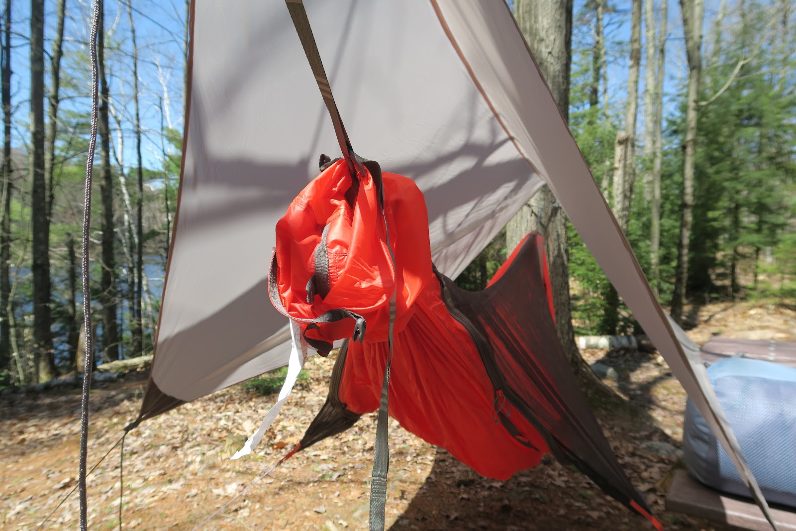
One of the missions of this camping was to use hammock! In New England, it is sometimes very hard to find a flat spot to pitch a tent, because trees are so dense. Hammocks solve the problem, but before getting into hammock camping, we wanted to test, because we never slept whole night in a hammock. The picture in the left is our hammocks. I had never slept in hammock for whole night. 


hammock
My concern was that I didn't know if it would be comfortable to sleep with a body U-shape. As you can see in the left picture it is no way your body lay flat. When I put sleeping bag and pillow inside, pillow sled. I thought, "ummm, maybe I don't need a pillow due to the structure"


Silver Lake
After setting up hammock and sleeping bag, it was lunch time! Tuna sandwich was nice to eat at the Silver lake. This is an artificial lake (reservoir), but it is beautiful. Someone was canoeing--looked fun.  


Falls of Lana

After lunch is a hiking time. I wanted to see Falls of Lana. It was unclear which point is a fall overlook. Actually signage was wrong. That made it somewhat the hike like a maze, but it was fun! This fall is in the unique shape. It is between the two solid rocks.


corn, meat, mashroom
After the hike was dinner! Always, ALWAYS, food is one of highlights of camp, isn't it?
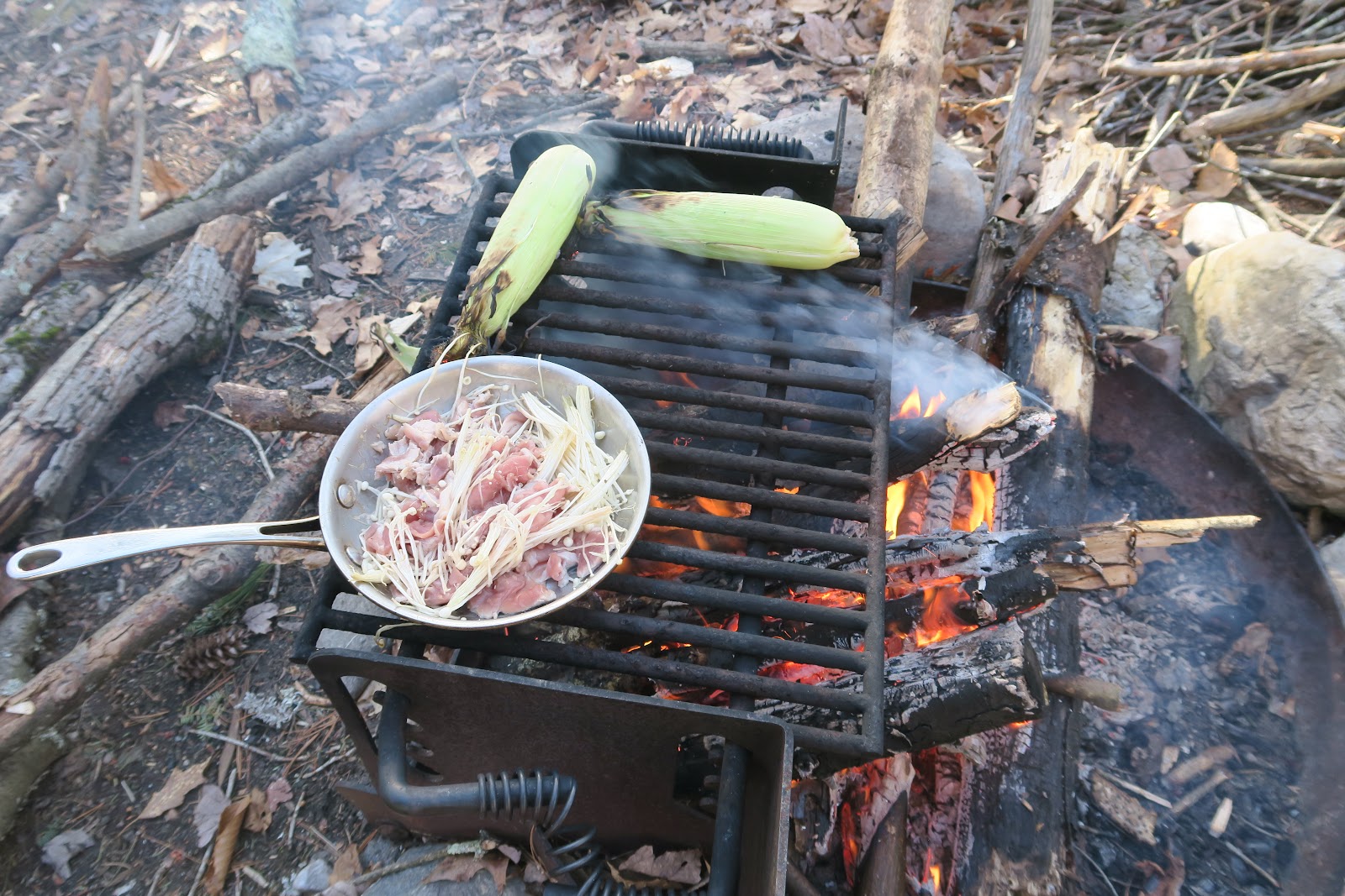
Firstly, as you can see in the left picture, we cooked meat and enoki mashroom in the small frying pan. Of course we don't carry a pan for actual backpacking, but this mini-walk, we can do. It was, sooooo tasty. Then you can see we also cooked corns over the fire. Nom nom nom... 


Udon
Then next was cup udon with hard boiled egg. Then finally sweet potato. Sweet potato was wrapped with aluminum foil and cooked in the fire (buried inside) for 2 hours during dinner. I eat cup noodles at only campsites, because it is not very healthy and tasty, but it is great at camping. Then dessert was chocolate. Recently I limit myself from eating too much chocolate, but why not at camping!?

Then we went to sleep in hammock. Well, compared to tent, not so comfortable, but I can do it again. I think. I fell asleep soon after I went inside, BUT I was woken up by somebody's firework sound. Ahhh. SO annoying. It was huge ones. After several fireworks followed by music. It was super disturbing. It was an early season, so a camp host was not yet there. I wished camp host had been there so that s/he could have scolded them. 


Lake in the morning
Finally I went to sleep at some point but not a good sleep, however, morning was pretty. Trees reflected on the calm peaceful lake. 

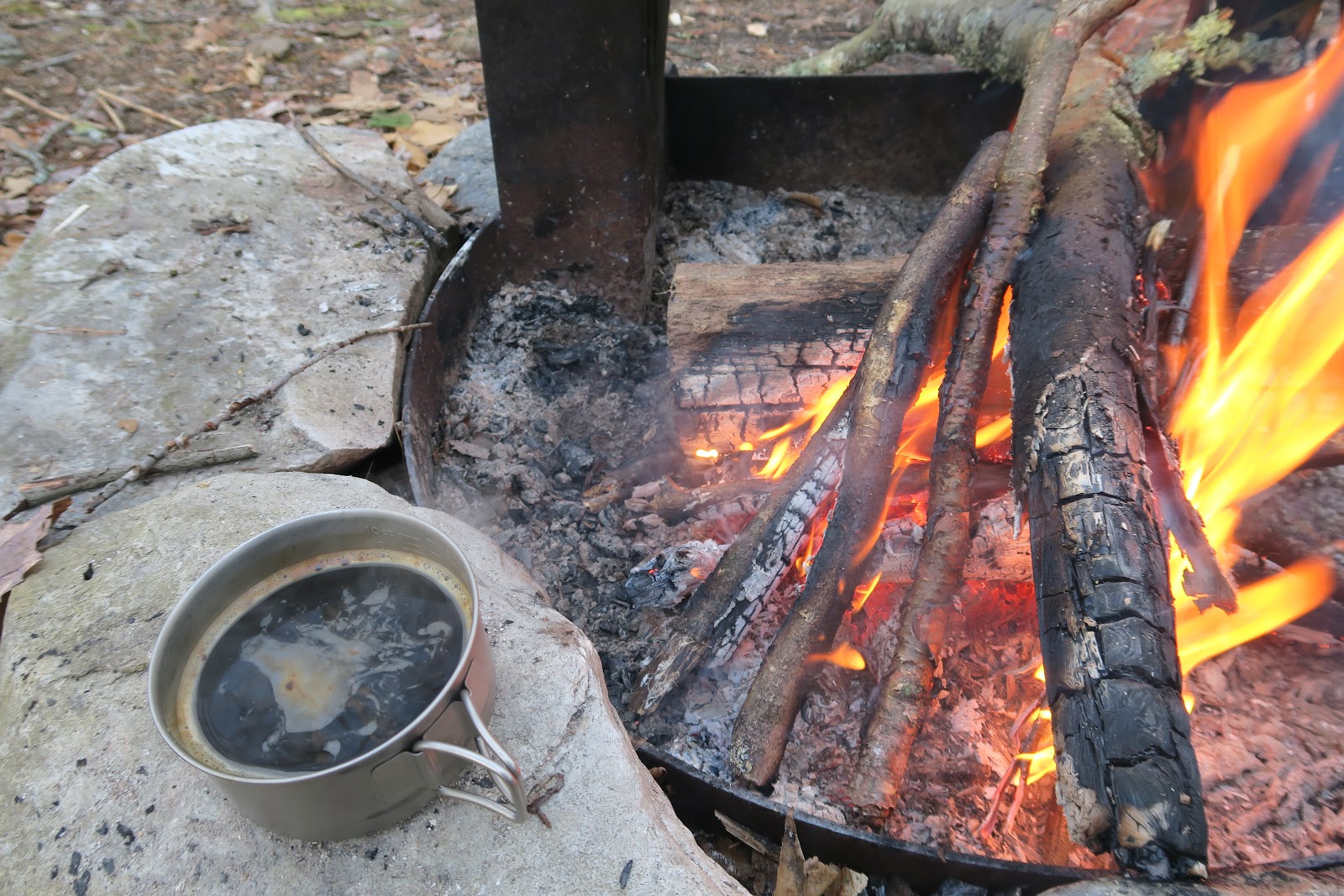
First thing to do in the morning is to make morning fire. I love evening fire and morning fire as well. After enjoying morning coffee and breakfast over the fire, we did a mini-hike: walk circle along the Silver lake. Nobody there and peaceful (especially on the contrary to fireworks of the night before).

Morning Coffee
Except for noisy rude people at night, it was a nice camping.

Lake